Why this service?
Know the seabed before you build.
Depths, siltation, dredging volumes: bathymetry provides the essential data for port, river and hydraulic works.
Services offered
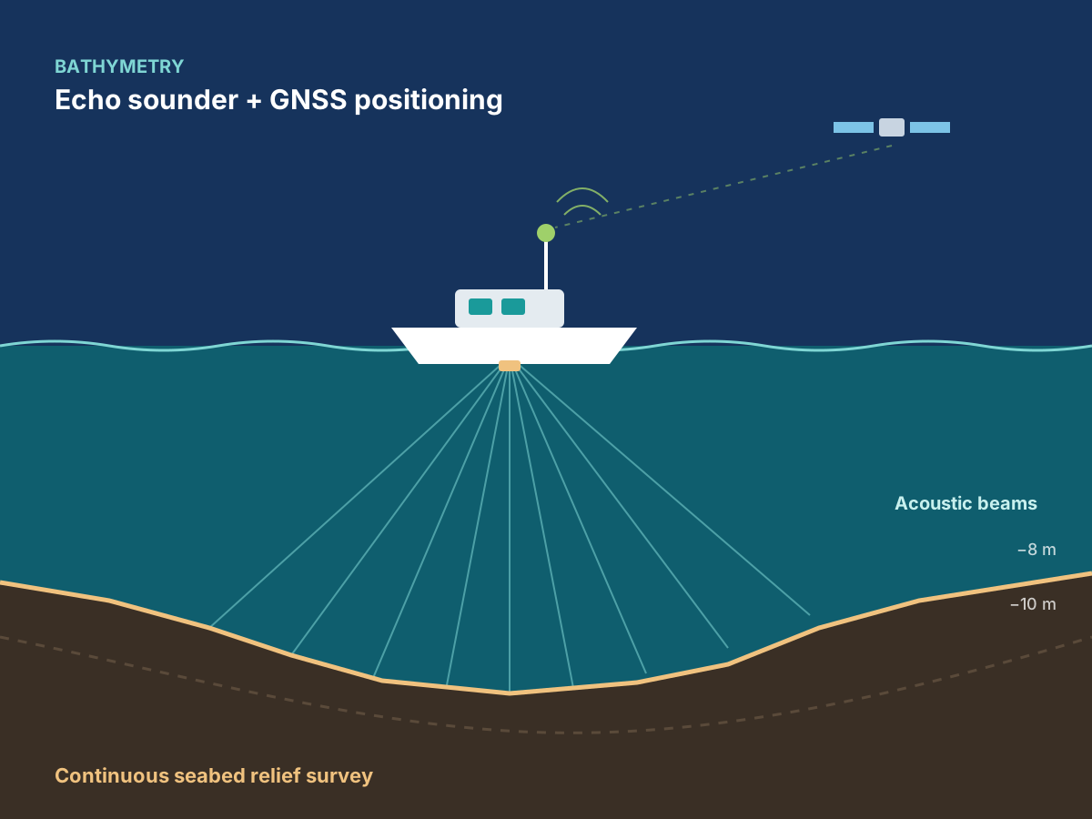
- 01Bathymetric surveys using an echo sounder coupled with GNSS positioning
- 02Cross-sections and depth charts
- 03Coastal and shoreline studies
- 04Volume calculations for dredging and siltation monitoring
- 05Surveys for ports, quays, jetties, water intakes, bridges and hydraulic structures
- 06Surveys of reservoirs, dams and water bodies
- 07Continuous land-to-water survey, combined with topographic surveying
Methods & standards
Recognised methods, reliable data.
Surveys calibrated by tide or water-level measurements, with data quality control.
Echo sounderGNSS positioningTide measurementsLand-to-water survey
Sectors concerned
Ports & coastlineEnergyWaterMarine and river worksUrban coastal development
What you receive
Deliverables
Bathymetric charts and profiles
The depth at every point of the surveyed area.
Digital seabed models
The underwater relief in 3D, ready for use in your studies.
Survey report and volumes
Method, quality control and volume tables.
How a mission works
- 01Request a quoteYou describe your project via the form or WhatsApp, 24/7.
- 02Mission programmeWe define the methods, equipment and schedule.
- 03On-site workOur teams and mobile laboratory travel to you.
- 04Processing and analysisData is processed, interpreted and checked.
- 05Delivery of deliverablesReport and documents delivered, presented if required.
In pictures
In the field and in the laboratory.


Frequently asked questions
Have a question?
Can you combine land and underwater surveys?
Yes: by combining land surveying and bathymetry, we deliver a continuous survey from land to seabed.
What is a pre-dredging survey for?
To calculate dredging volumes precisely, then monitor how siltation develops.
Related services