Why this service?
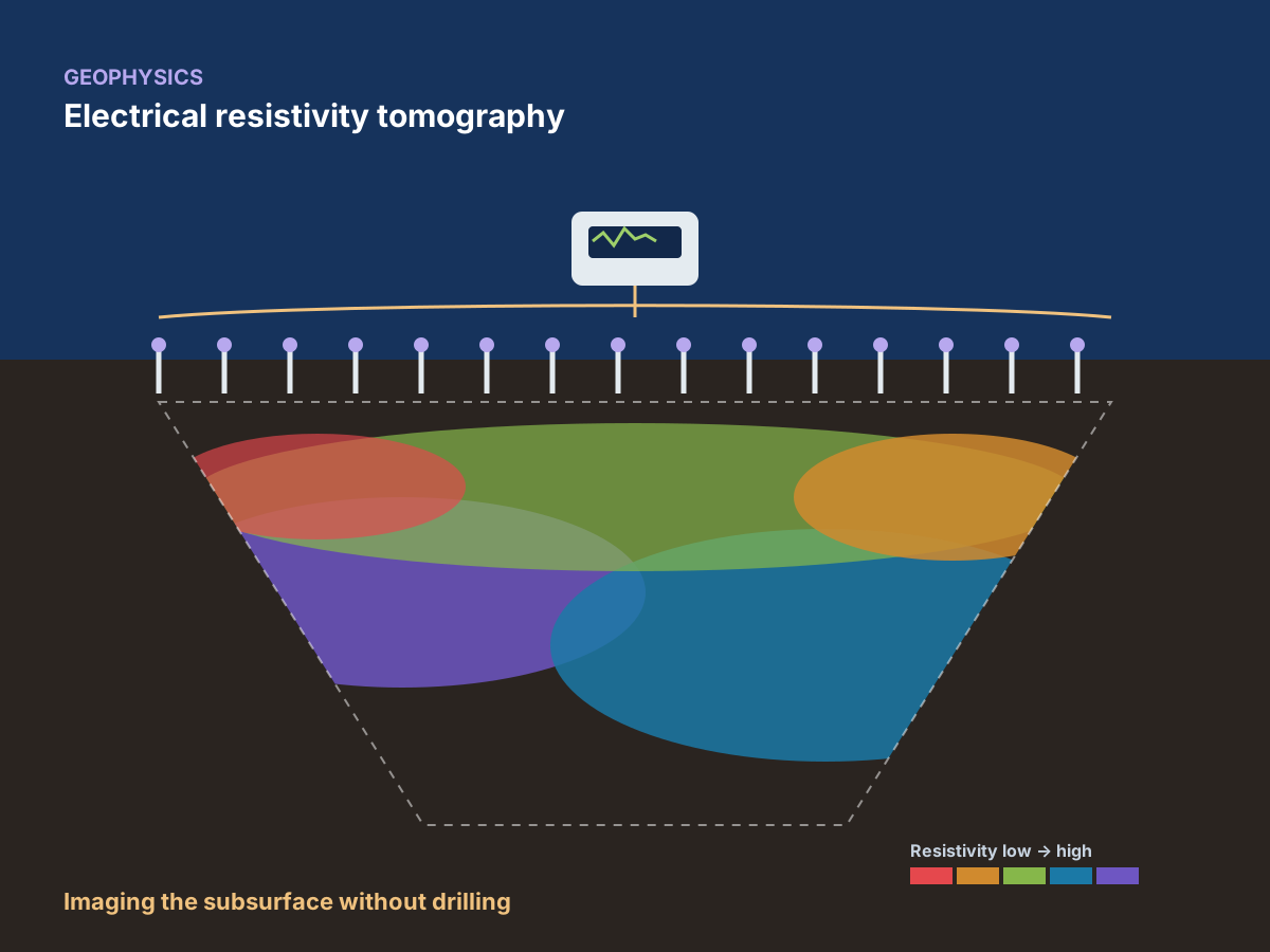
See below the surface, without digging.
Geophysics quickly covers large areas and guides boreholes to where they are truly useful: less uncertainty, lower costs.
Services offered
- 01Electrical resistivity imaging (ERT tomography)
- 02Vertical electrical soundings (VES)
- 03Soil resistivity for earthing systems (solar plants, substations, buildings)
- 04Seismic refraction and surface waves (MASW): ground stiffness and layer thickness
- 05Ground-penetrating radar (GPR): cavities, utilities and shallow interfaces
- 06Electrical and magnetic methods for mineral exploration and groundwater search
Methods & standards
Recognised methods, reliable data.
Recognised geophysical survey methods, systematically calibrated against available geotechnical boreholes or wells.
ERT tomographyVES soundingsSeismic refractionMASWGPRMagnetics
Sectors concerned
Solar energyWaterMiningInfrastructureBuildingSite diagnostics
What you receive
Deliverables
Interpreted maps and cross-sections
A clear picture of the subsurface, readable by all stakeholders.
Interpretation report
Analysis of the results and recommendations for the next steps of the project.
Raw data
Provided on request for your own processing.
How a mission works
- 01Request a quoteYou describe your project via the form or WhatsApp, 24/7.
- 02Mission programmeWe define the methods, equipment and schedule.
- 03On-site workOur teams and mobile laboratory travel to you.
- 04Processing and analysisData is processed, interpreted and checked.
- 05Delivery of deliverablesReport and documents delivered, presented if required.
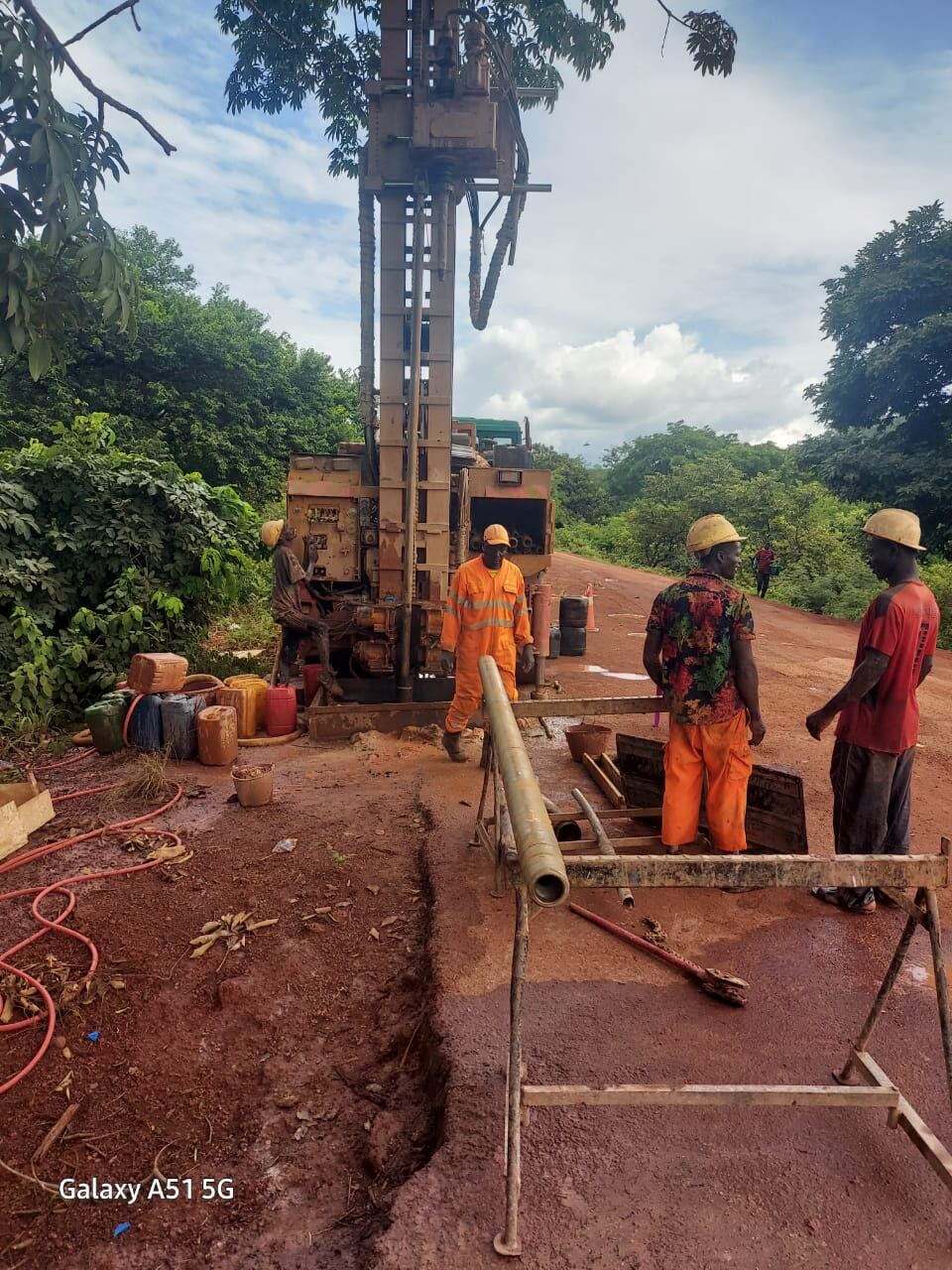
In pictures
In the field and in the laboratory.


Frequently asked questions
Have a question?
Why combine geophysics and boreholes?
Geophysics images large areas; boreholes calibrate it at precise points. Together, they give a reliable picture of the subsurface.
Why measure soil resistivity for a solar power plant?
It is used to design the earthing of electrical installations: panels, substations and buildings.
Related services