
Why this service?
Every project starts with an accurate plan.
An accurate survey avoids setting-out errors and gives exact earthwork and stockpile volumes.
Services offered
- 01Planimetric and altimetric surveys
- 02Detail surveys and surveys of existing buildings
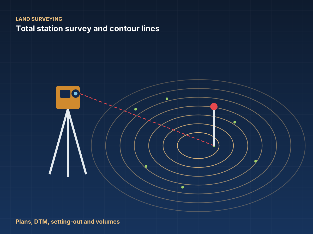
- 03Topographic plans, contour lines and digital terrain models (DTM)
- 04Setting-out of structures, road alignments and foundations
- 05Volume and earthwork calculations (cut and fill, stockpiles)
- 06Drone and photogrammetry surveys where the site allows
- 07Levelling and tie-in to geodetic benchmarks
- 08Large-area surveys: solar plants, linear routes, mining sites
Methods & standards
Recognised methods, reliable data.
Precision equipment — GNSS, total station, level — with accuracy control and tie-in to the coordinate system requested by the client.
GNSSTotal stationLevelDrone & photogrammetry
Sectors concerned
BuildingRoadsEnergyMiningWaterLand development
What you receive
Deliverables
PDF and DWG plans
Ready for your architects and engineering firms to use.
Point files and DTM
Field data, ready for use in your software.
Survey report and volumes
Method, accuracy achieved and volume tables.
How a mission works
- 01Request a quoteYou describe your project via the form or WhatsApp, 24/7.
- 02Mission programmeWe define the methods, equipment and schedule.
- 03On-site workOur teams and mobile laboratory travel to you.
- 04Processing and analysisData is processed, interpreted and checked.
- 05Delivery of deliverablesReport and documents delivered, presented if required.
In pictures
In the field and in the laboratory.


Frequently asked questions
Have a question?
In which formats do you deliver the plans?
In PDF and DWG (AutoCAD), together with point files and the digital terrain model.
Do you use drones?
Yes, where the site allows, for photogrammetry surveys of large areas.
Related services