
Why this service?
Revealing the potential of a permit.
A well-run exploration campaign directs investment towards the most promising areas, with traceable data.
Services offered
- 01Geological mapping and field reconnaissance
- 02Sampling of soils, rocks and alluvial sediments
- 03Exploration trenches and pits
- 04Boreholes and core drilling with core logging
- 05Geophysical campaigns supporting exploration
- 06Topographic surveys and GPS positioning of samples and boreholes
- 07Data processing and GIS mapping
- 08Exploration reports and follow-up recommendations
Methods & standards
Recognised methods, reliable data.
Rigorous sampling protocols and full sample traceability, from the field to the laboratory.
Geological mappingSamplingTrenches & pitsCore drillingGPSGIS
Sectors concerned
Exploration companiesPermit holdersInvestorsEngineering firms
What you receive
Deliverables
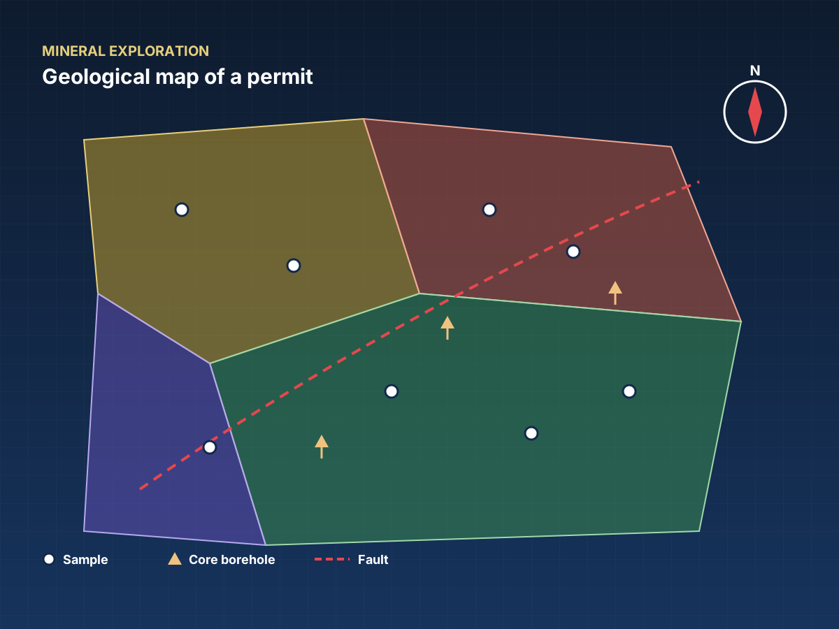
Geological maps
A visual summary of the explored area.
Logs and results tables
Every borehole and every sample documented.
Campaign report
Results, interpretation and follow-up recommendations.
How a mission works
- 01Request a quoteYou describe your project via the form or WhatsApp, 24/7.
- 02Mission programmeWe define the methods, equipment and schedule.
- 03On-site workOur teams and mobile laboratory travel to you.
- 04Processing and analysisData is processed, interpreted and checked.
- 05Delivery of deliverablesReport and documents delivered, presented if required.
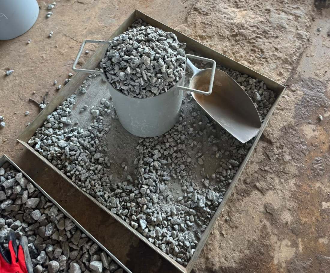
In pictures
In the field and in the laboratory.

Frequently asked questions
Have a question?
How do you guarantee sample traceability?
Every sample is GPS-positioned and tracked from the field to the laboratory.
Can geophysics support exploration?
Yes, geophysical campaigns guide sampling and the siting of boreholes.
Related services